FCD’s Research Unit is primarily focused in assessing the conservation targets identified in the Management Plan. The data generated helps inform on the state of the ecosystems and species in the park, which provides FCD with the essential information to put in place targeted efforts. The data also helps FCD understand the effectiveness of the interventions and keep regulatory agencies, funders and donors informed of the environmental status and needs. The Research Unit is comprised of four field technicians and a Biodiversity Research, Inventory and Monitoring (BRIM) Technician.
Seven conservation targets are described in the actual Chiquibul National Park Management Plan. These are as follows: Tropical Broadleaved Forest, Aquatic Systems, Scarlet Macaw, White-Lipped Peccary, Jaguar, Upper Elevation Amphibians and Karst Systems. Each of these conservation targets are described on the Biodiversity Research, Inventory and Monitoring Framework, with their key attributes, monitoring indicators and monitoring protocols.
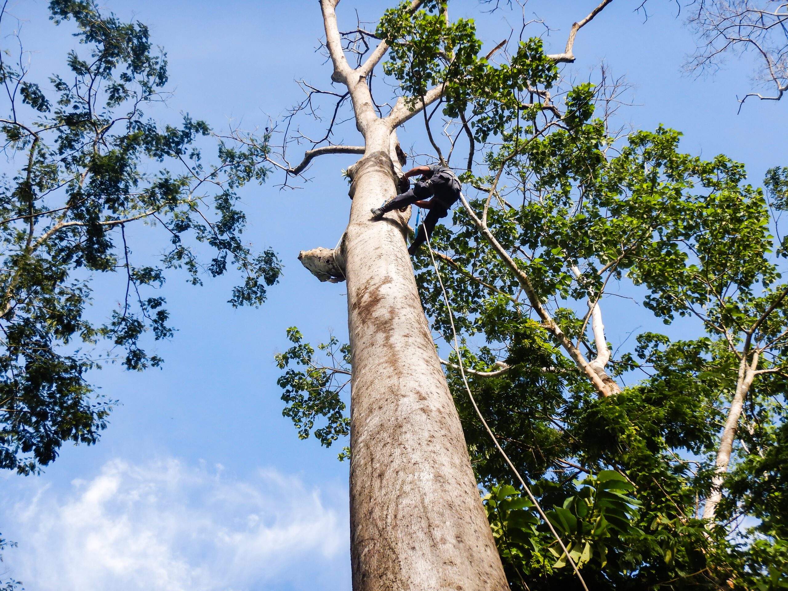
FCD’s Research Unit spends 6-8 months conducting bio-monitoring of scarlet macaws in the Chiquibul Forest, which is the primary breeding habitat for these parrots in Belize. The Scarlet Macaw is the largest of the Belizean parrots with an estimated population of 350 individuals confined to the Chiquibul-Maya Mountains.
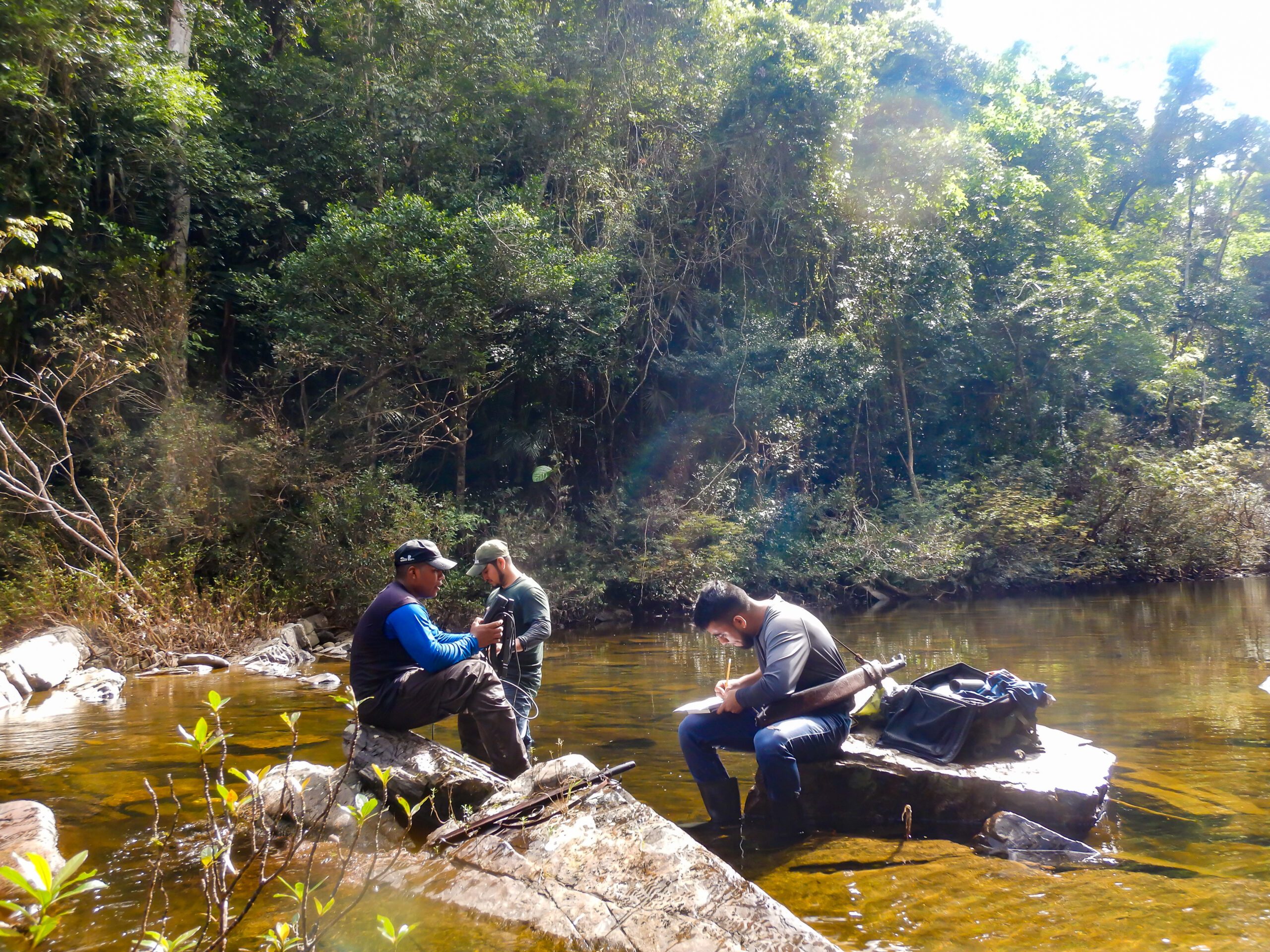
The Chiquibul River, located in the Chiquibul National Park forms the beginning of the Belize River Watershed. Monitoring the water flow regime (volume) and water quality are two important elements necessary for better understanding the natural processes occurring in this river. Water sampling sites are distributed in such a manner that there is adequate representation of the watershed. Most important the sampling sites must be located upstream, at and downstream of threat sources; to assess the impact that anthropogenic activities are causing to aquatic systems. Maintenance of the water quality in these systems assures the viability of aquatic fauna populations (fish and macroinvertebrate populations), and more importantly the provision of abundant, fresh water for human consumption.
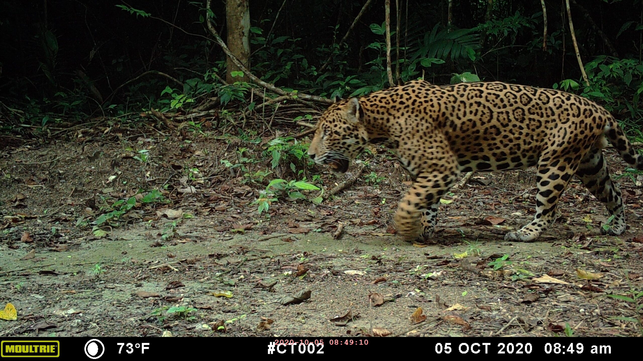
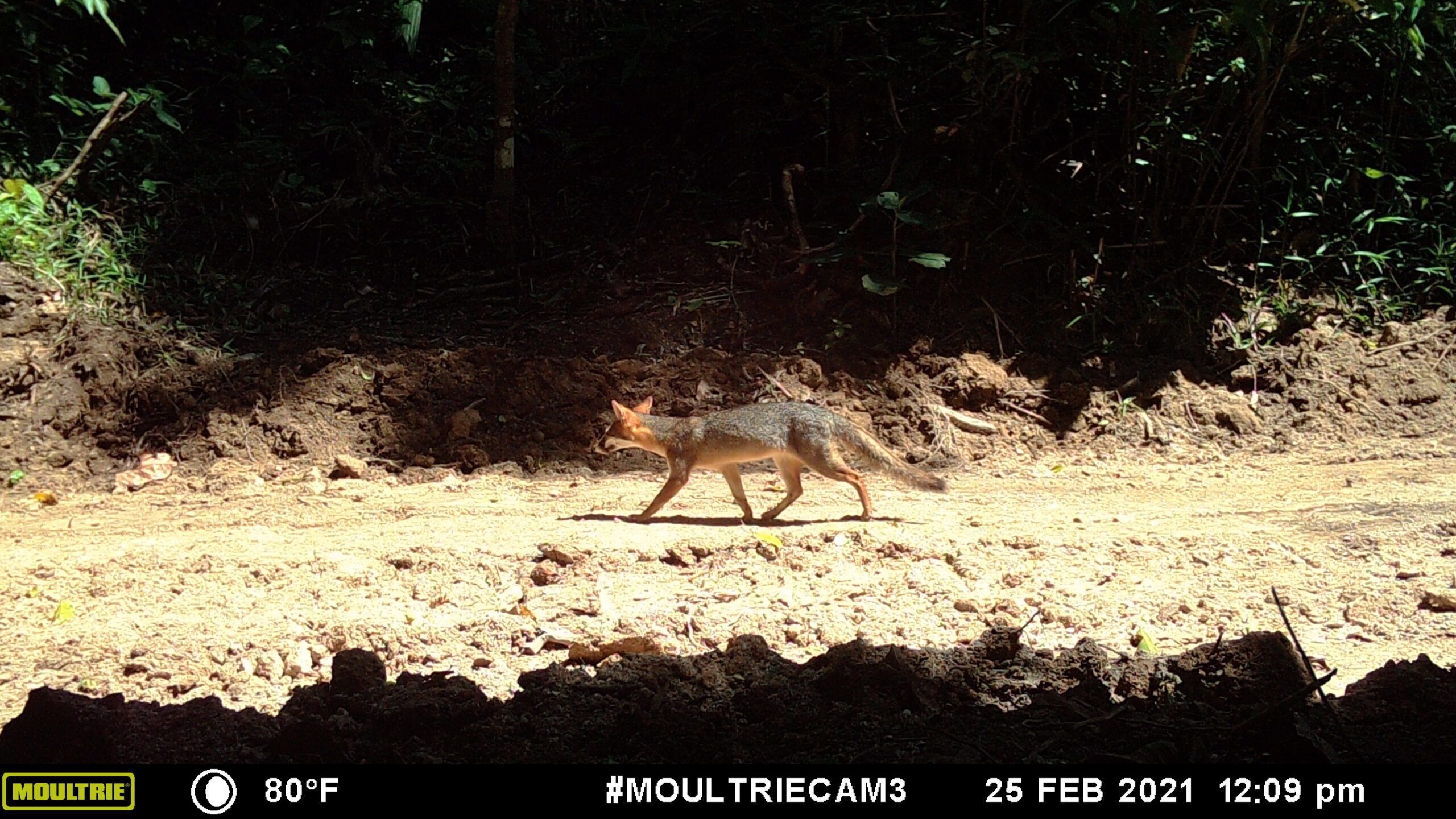
To assess the species identified as conservation targets, the FCD Research Unit have established wildlife camera traps. SD cards are downloaded periodically, and cameras are maintained throughout the period of 3-4 months. The data collected is thereafter transferred to Panthera for their analysis. FCD has developed a partnership with Panthera to improve monitoring and management of terrestrial wildlife in the wider Chiquibul-Maya Mountains through field research.
Panthera is a non-profit organization devoted exclusively to the conservation of the world’s 40 wild cat species and their ecosystems, with a long history of jaguar conservation efforts in Belize and the Mesoamerican region.


The Chiquibul National Park (CNP) is the largest terrestrial protected area in Belize and an integral part of the Greater Maya Mountains Massif, a key biodiversity area. Together the Caracol Archaeological Reserve, the Chiquibul Forest Reserve, and the CNP are referred to as the Chiquibul Forest (CF) as a functional ecological unit. Like most protected areas in Belize and in the greater Mesoamerican region the CF is faced with increasing anthropogenic activities. These human related activities have impacts on biodiversity conservation and scientific data is needed for monitoring, thus the need for the development and implementation of a Biodiversity Research, Inventory and Monitoring (BRIM) Framework. The implementation of the BRIM framework serves the management authorities, like FCD with scientific data for the development of biodiversity management and conservation strategies to address impacts of legal and illegal anthropogenic activities within the CF.
Chi-Hah Street, San Jose Succotz
Cayo District, Belize