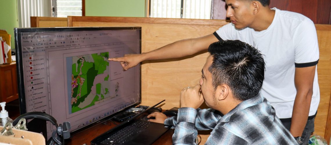
![]() Mappy GIS Day! Today is the 2023 World GIS Day celebrated under the theme; “Celebrating the GIS Professional.” At FCD geographic information systems (GIS) forms a significant part of the Biodiversity Research, Monitoring and Inventory Framework. Data collected through many of our GIs platforms allows us to access and use current, historical, and time-series information relevant to forest cover, land use, fire impacts, watershed monitoring and human encroachments. As we celebrate world GIS, we want to highlight the use of SMART (Spatial Monitoring and Reporting Tool) which is used by rangers to document human activities in the PA’s and the Chiquibul Aerial Surveillance Program which uses remote sensing technology to collect data on forest cover. Today we Celebrate and commend Mr. Jorge Pott and Mr. Wilmer Guerra, along with all other GIS professionals in Belize and the world.
Mappy GIS Day! Today is the 2023 World GIS Day celebrated under the theme; “Celebrating the GIS Professional.” At FCD geographic information systems (GIS) forms a significant part of the Biodiversity Research, Monitoring and Inventory Framework. Data collected through many of our GIs platforms allows us to access and use current, historical, and time-series information relevant to forest cover, land use, fire impacts, watershed monitoring and human encroachments. As we celebrate world GIS, we want to highlight the use of SMART (Spatial Monitoring and Reporting Tool) which is used by rangers to document human activities in the PA’s and the Chiquibul Aerial Surveillance Program which uses remote sensing technology to collect data on forest cover. Today we Celebrate and commend Mr. Jorge Pott and Mr. Wilmer Guerra, along with all other GIS professionals in Belize and the world. ![]()

