Aerial mapping of the Chiquibul Forest conducted.
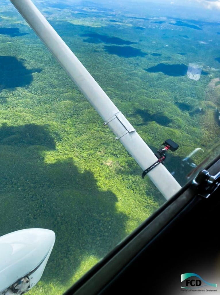
FCD conducted its regular aerial recce flight to carry out aerial mapping of the Chiquibul Forest. This time FCD’s Chiquibul Park Manager was joined by Chief Ranger 1 M. Diaz to assess their joint efforts aimed at evaluating the progress of the Chiquibul forest’s recovery and identifying any new hotspot areas.